The Bangweulu Swamps are wetlands located adjacent to the large Lake Bangweulu. It lies in a shallow swamp in the centre of the craton plate, the northern Zambian plateau. Between November and March (the rainy season), this area floods. The average annual rainfall is about 1,200 mm. 90% of the water that enters the Bangweulu system evaporates. As a result, the water level in the centre of the swamp varies between 1 and 2 metres, causing the periphery of the floodline to increase and reduce by up to 45km. This rise and fall dictates life in the swamps.
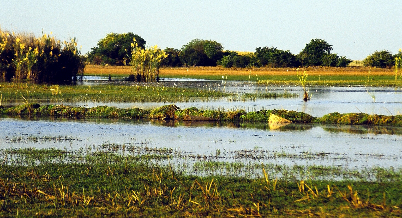
The Bangweulu Wetlands' 6,000 km2 ecosystem consists of floodplains, seasonally flooded grasslands, miombo woodlands, and permanent swamps fed by the Chambeshi, Luapula, Lukulu, and Lulimala rivers, a vast and lush wetland landscape.
Bangweulu Wetlands consists of floodplains, seasonally flooded grasslands, woodlands and permanent swamps fed by the Chambesi, Luapula, Lukulu and Lulimala rivers. The area has been designated as one of the world's most important wetlands by the Ramsar Convention and is a BirdLife International Important Bird and Biodiversity Area. The total wetland area is more than 9,850 km2 (985,000 hectares), of which 6,000 km2 (600,000 hectares) is managed by African Parks in partnership with Zambia's Department of National Parks and Wildlife (DNPW) and six Community Resource Boards. Bangweulu is the only place in the world you will find wild black lechwe and is home to over 350 shoebills.
Bangweulu Wetlands